Forest monitoring in the South Pacific – Blog #1
When you stop and listen, there’s a constant rumbling around Moorea’s coastline – it’s where the ocean waves are crashing against the reef on the edge of the shallow lagoon.
Flying into Tahiti you pass the dramatic peaks of its elder sister, Moorea, for the first time. It’s one of the best views of the bright blue lagoon waters, skirting the island’s edge. Most of the island’s population live along a narrow ribbon of land, below the steep cliffs and ridges of the interior.
I’ll be staying here, and on the neighbouring atoll Tetiaroa, for the next couple of months, establishing new long term forest monitoring plots in connection with Oxford’s Ecosystems Laboratory. Soon to be joining is Heipoe Tihopu from l’Université de la Polynésie française in Tahiti, and to say we’re excited is an understatement!
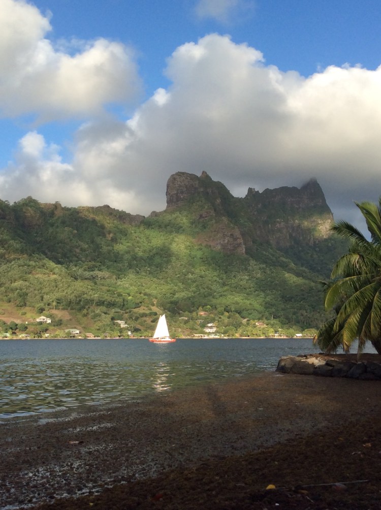
With my presentation finished for next week, I wandered off to explore – ending at Plage Publique de Ta’ahiamanu, at the entrance to Opunohu Bay, near where our Moorean monitoring sites will be located.
Tahitian families play in the shallows and sail boats moor up on the edge of the channel. But this is no ordinary public beach – within metres of the shore, large coral bommies have formed, with parrot fish, sea cucumber and rays cruising around, relatively unconcerned by my splashes.
Further out, I came across some cages with algal growth experiments, most likely belonging to researchers at Gump Station, UC Berkeley’s marine field station, where we’re staying, or CRIOBE, the other marine research facility on the island.
The Moorea Coral Reef Long-term Ecological Research (MCR LTER) site is one of several long term research programs here, spanning the fields of ecology, archaeology, genetics and linguistics. The other day, Lars Eckstein from Universität Potsdam was visiting, presenting work on Tupaia’s maps, an incredible story of Tupaia’s journeys with Captain Cook’s crew and of his ability to translate his sophisticated wayfinding and navigational knowledge into western forms of mapping and recording bearings.
For now, my job is to focus on finding my way on land, and through thick botanical field guides – learning to identify the trees we will be tagging and measuring. Less than 6% of the island’s native terrestrial habitats remain, such is the impact of invasive species like the beautiful but pervasive Miconia calvescens and human induced land use change.
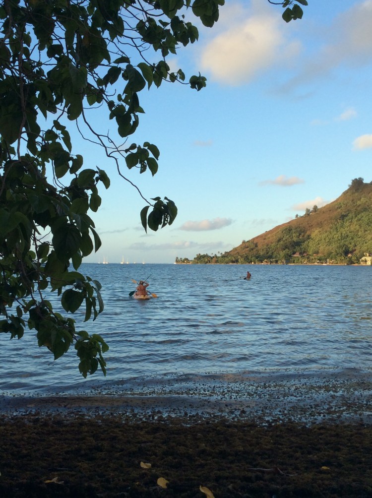
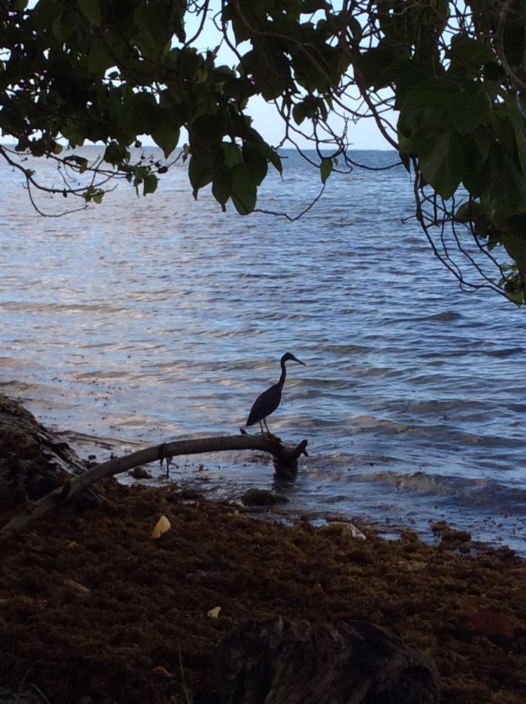
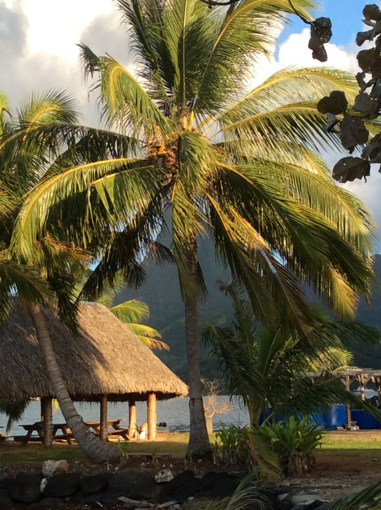
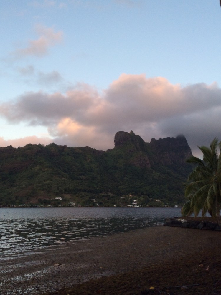
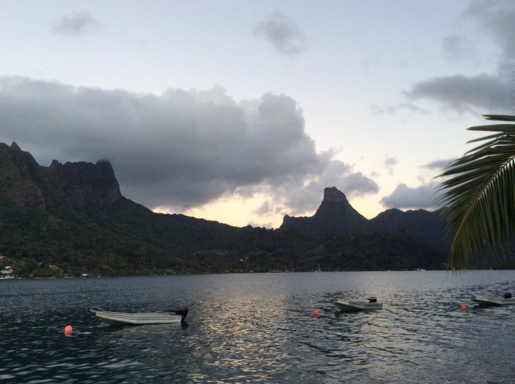
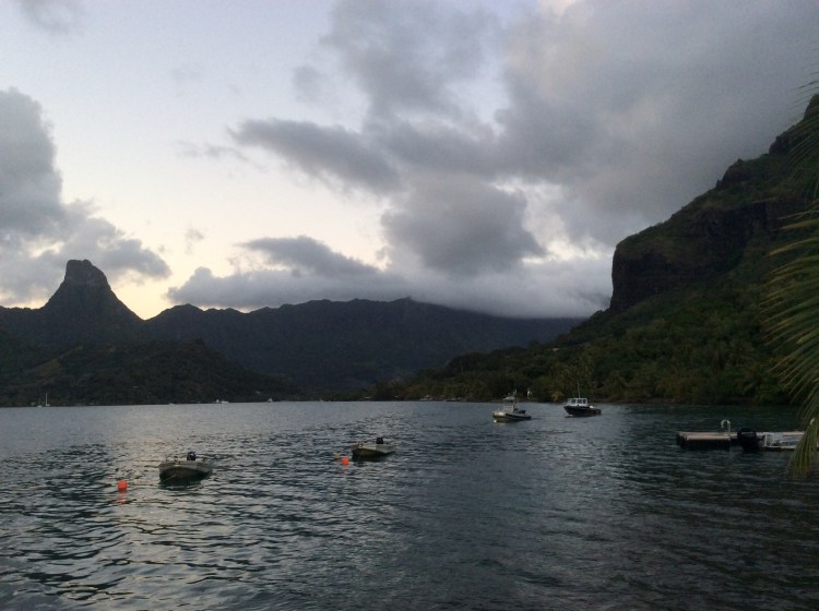
We’ll be using large plots, intended to be monitored over several decades, to understand how forests change over time, ultimately to determine how they are responding to rising temperatures and carbon dioxide levels as well as how they are responding to restoration efforts. More on that next week – for now, here are some photos taken from right where I am sitting at Gump Station on the edge of Cook’s Bay. It’s too beautiful not to share!
*’ia ora na is a Tahitian greeting, the first of many Tahitian and French words Heipoe is helping me learn!